New Feature: Explore Data by Watershed
July 11, 2019
DataStream’s new watershed boundary layers cut back on guesswork and make it easier to explore data in the regions that matter to you. We’ve incorporated watershed map layers across all three platforms thanks to geospatial data available on Canada’s Open Government Portal (open data for the win!).
A watershed-scale perspective
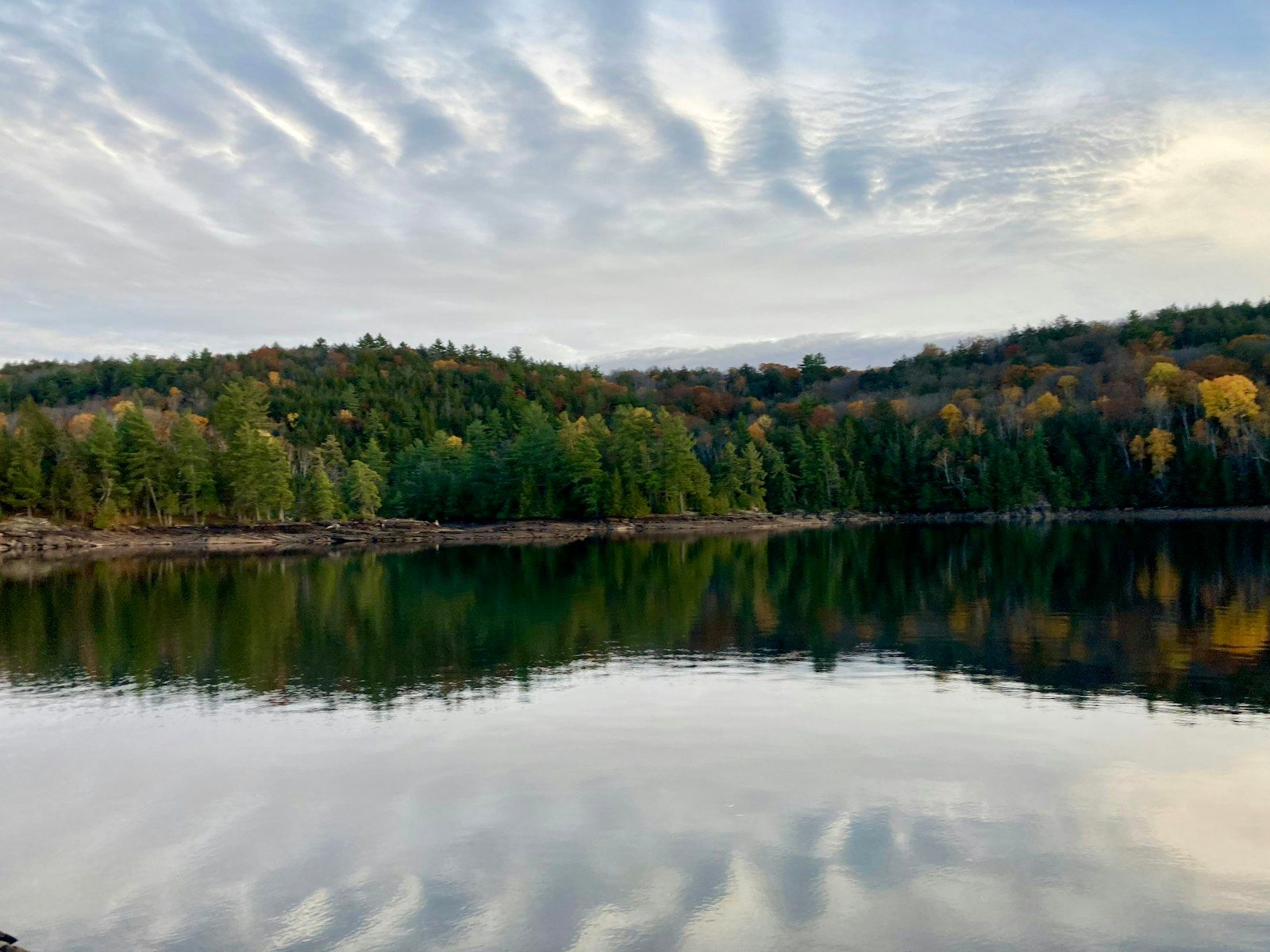
Watersheds are areas of land where all surface and ground water drains into a single outlet such as a river, lake, stream, or ocean. Watersheds (or drainage basins) can be small, like a local lake, or massive – encompassing many networks of sub-watersheds and connecting tributaries. For example, the Mackenzie River Basin drains a vast area of 1.8 square kilometers.
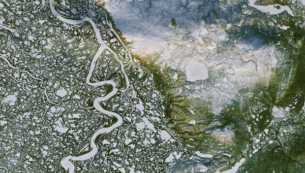
Watersheds are highly interconnected, often spanning geographical and political boundaries. Mackenzie River Delta, Northwest Territories (Image: NASA Earth Observatory).
Complex relationships between water, land and human activity mean that impacts – particularly cumulative effects – from development, pollution and climate change can be felt not only locally, but upstream and downstream as well. Long-term monitoring at the watershed scale is critical to understanding and managing these stresses so that we can protect the health of freshwater ecosystems.
Diving in: How it works
With DataStream’s new watershed features you can now:
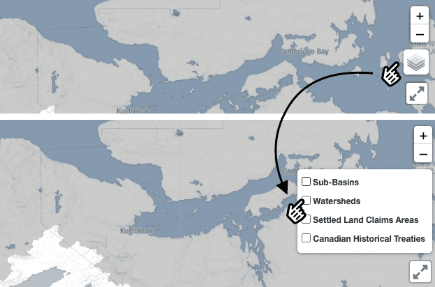
Add watersheds as a layer on the map
- Navigate to the map layer legend on the right
- Select the watersheds layer
- Pan across the map to explore datasets
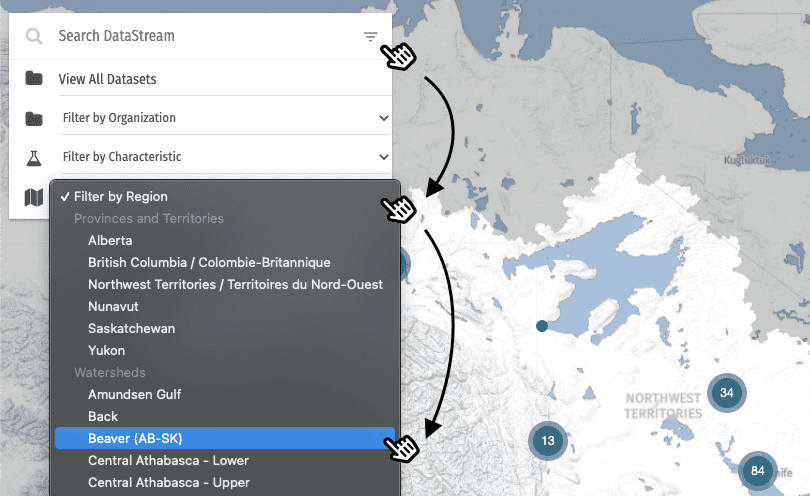
Search for datasets within a specific watershed
- Click the drop-down menu in the data search bar
- Filter by region
- Select your area of interest from the list of watersheds
About our watershed layers
Watershed boundaries featured on DataStream are based on the Water Survey of Canada’s “Sub-Drainage Areas” (there are 164 of them). To learn more about the source files used, visit our references page.
The results are in! DataStream's 2023 external evaluation
We asked for your feedback, and you delivered! DataStream is pleased to share the results of our 2023 external evaluation.
Job Posting: Executive Director
The Executive Director (ED) will play a pivotal role in leading DataStream at an exciting time of growth.
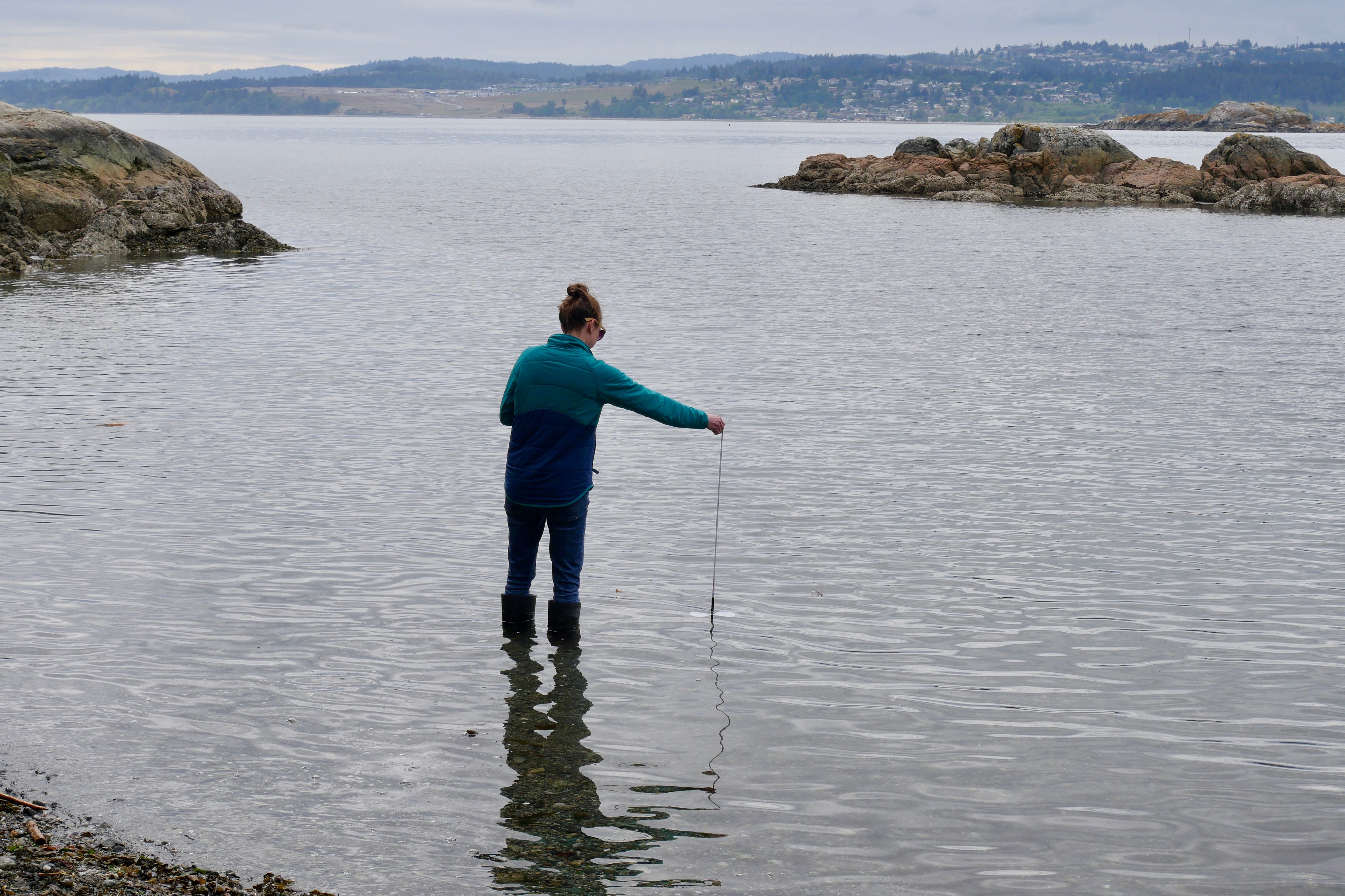
Join DataStream's Pacific Data Drive
Do you collect water quality data in British Columbia or the Yukon? If YES, we want to work with you!